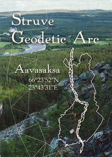
The Struve Geodetic Arc is a chain of survey triangulations stretching from Hammerfest in Norway to the Black Sea, through ten countries and over 2,820 km.The Finnish part of the nomination included six sites: Stuor-oivi, Avasaksa, Tornea, Puolakka, Porlom II and Svartvira. The point of the Struve Arc Aavasaksa was established at 1845 and marked with three marker of crosses engraved into the bedrock. Markers were hidden under a lookout tower built in the year 1969 on the highest site of the hill.
Unesco: Struve Geodetic Arc
RR: Unesco RR
Date: Oct 16
Post a Comment